First Focus
Demo Video
Overview of Project
This project uses aerial imagery to support natural disaster response. The system takes in an uploaded aerial image, divides it into 12 grid sections, and ranks each section based on urgency by combining disaster classification results with population data. After the urgency ranking, the app also checks whether roads may be blocked and, if road access is limited, highlights possible helicopter landing or staging areas.
Introduction
When a disaster hits, the bottleneck is often the lack of information. Responders don't know where the worst damage is, which roads are blocked, or who is cut off. First Focus is a web-based system that ranks areas by severity, so responders go to the highest-need spots first. We also identify blocked roads, risk roads, and possible helicopter landing zones for easier accessibility after a disaster. Ultimately, our product is a dashboard summary of prioritized areas after a disaster. This way, especially in areas with less documentation, emergency responders know where to go first and how to get there. It works across earthquakes, floods, wildfires, cyclones, and landslides, all from one pipeline.
Methods
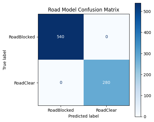
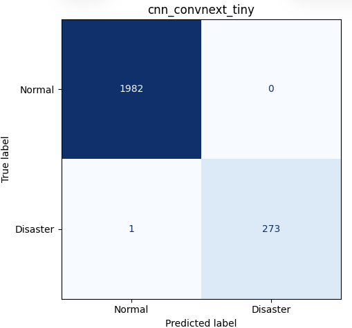
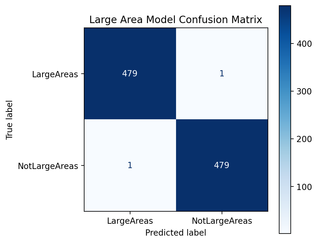
This project uses three pretrained CNN-based models. For the initial disaster-or-no-disaster model, I used a ConvNeXt Tiny model which classified each grid cell as disaster-affected or normal. We initially tried a ViT-b-16 pretrained model, but after it reached around the same accuracy as the ConvNeXt Tiny model while requiring significantly more storage, I opted for the CNN. There were 13,207 normal images and 1,827 disaster images in this dataset. Next, the road-access model scans an uploaded aerial image for road conditions and classifies image patches as either clear road or blocked road, and outputs a probability that the roads are inaccessible. I used a ResNet50 model for this one with 1870 good road images and 3595 broken-road images. The final model, the helicopter landing-area model, searches patches for open landing areas such as stadiums, parking lots, and fields, in the case of blocked roads. It classifies each patch on the image as either a large area or not a large area, and draws bounding boxes around likely landing locations. This model is trained on 3200 large and 3200 not large areas.
Results
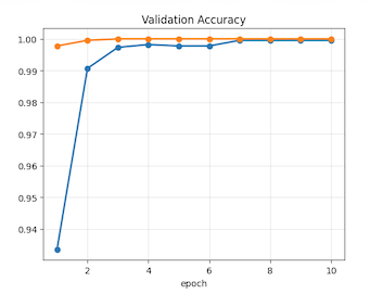
The models achieved strong accuracy and classification performance across the disaster, road-access, and landing-area tasks. Accuracy, F1 score, ROC-AUC, confusion matrices, and training/validation curves were used to evaluate performance. The high performance allowed the system to distinguish disaster-affected regions, blocked roads, and large open areas. The data was split into 70% training, 15% testing, and 15% validation sets, producing accuracies of 99.95%, 100%, and 99.67%, respectively, after training on 10 epochs with a batch size of 64.
Market Analysis
For our market analysis our main target markets are regional and National Emergency Management agencies, humanitarian organizations like the UN, and potentially insurance companies. Our main goal is to keep this tool accessible to all the populations that need it, so we plan to sell our product as a partnership with these organizations rather than a paid service. To actually gain feedback for our product we visited our local fire station and talked with the firefighters who stated that our product would be useful in a real setting, especially in rural areas with less Incorporated roads. For our future steps, we plan to partner with regional emergency response teams or fire departments. We also plan to factor in historical patterns from similar natural disasters, along with before and after images of the disaster zone, into our calculations.
Slideshow
If the slideshow does not load inline, you can open it directly here: Hackathon.pdf
Full code: Lucasmagne/NatDisasterRank
Collaborators: Shannon Zhang, Yihang Lu
2026